Back
hike
Back
hike
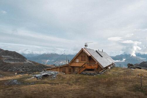
Refuge de la Dent Parrachée
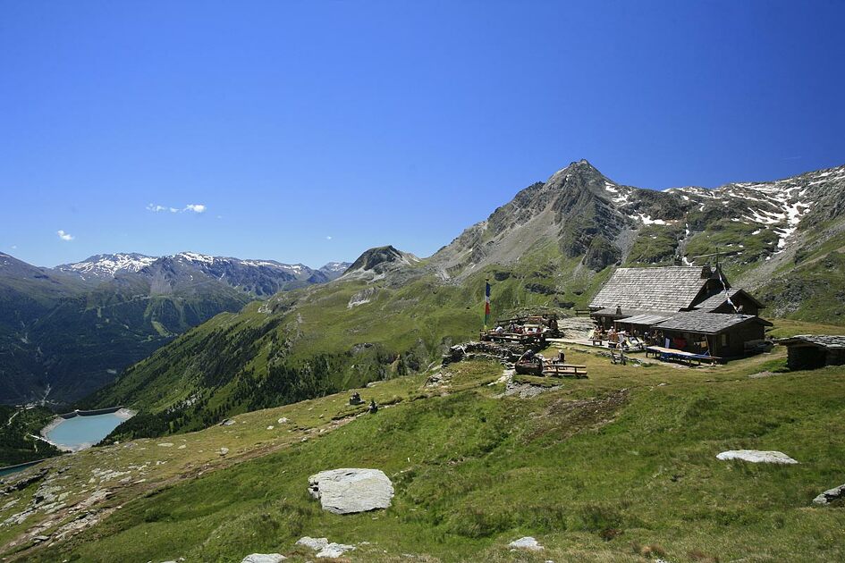
Hiking accessible to any walker with a panoramic view of the dams Plan d'Amont and Plan d'Aval, Dent Parrachée and other surrounding peaks.
Additional welcome
The duration of hiking trails is calculated using reference paces: 300 m/h ascent, 500 m/h descent and 4 km/h on the flat.
As hazards may occur at any time on the routes, the GPX tracks provided are not contractual. They are given for information only. Riders use them at their own risk, depending on their level of technological proficiency and their understanding of the terrain.
-
Minimum age: 5 years
Environments
-
 Lakeside or by stretch of water
-
Lake view
-
Mountain view
-
Mountain location
-
Close to GR footpath
Rates
Free access.
Good plans
Possibility of access via chairlift Gran Jeu - go time: 1:30
Itinerary
-
 Distance
4.2km
Distance
4.2km
-
 Route type
Round trip
Route type
Round trip
-
 Elevation gain
500m
Elevation gain
500m
-
 Negative gradient
500m
Negative gradient
500m
-
 Daily duration
02h45
Daily duration
02h45
-
 Signposted itinerary
Yes
Signposted itinerary
Yes
-
 Nature of the land
Ground,
Not suitable for strollers
Nature of the land
Ground,
Not suitable for strollers
-
 Maximum altitude
2511m
Maximum altitude
2511m
Opening period
From 15/06 to 30/09.
Subject to favorable snow and weather conditions.
Additional opening
-
Subject to favorable weather
-
Subject to snow conditions
Spoken languages
-
 French
Adapted tourism
-
Not accessible in a wheelchair
Location
Access by road from the dams. From Aussois, head towards the Plan d'Aval and Plan d'Amont dams, Vanoise National Park. 7 km, narrow road - forbidden to coaches.
Animals
Pets allowed : No
Tips
-
Possibility of access via chairlift Gran Jeu - go time: 1:30
-
Starting point: Parking dam of Upstream Plan
Elevation start: 2,050 m
Elevation tour: 2511 m
Reference Carto: IGN 3534 OT - The Three Valleys - Modane - Series Top 25 - Scale: 1/25000
Stroller accessibility: no
Type of land: land
Type of trail: trail maintained PNV
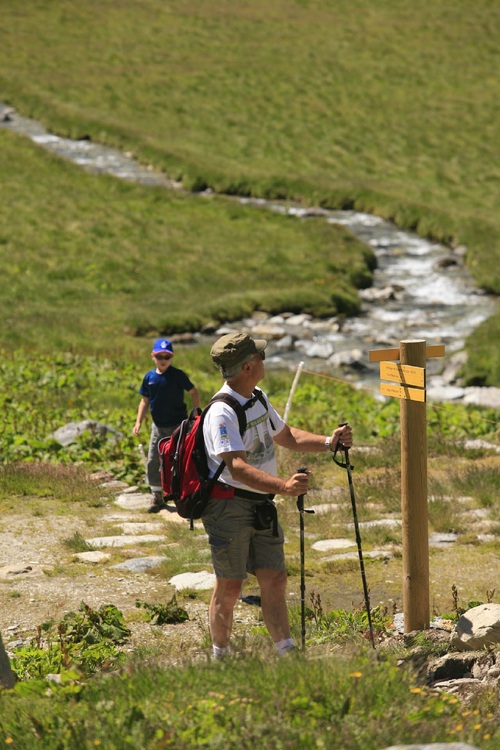
Level of the hike: walker, no problem
Markings: yellow panels PNV


-
Distance
4.2km
-
Daily duration
02h45
-
Elevation gain
500m
-
Negative gradient
500m