Peaks at 3,000
Le Rateau
3 131 mThe Rateau d'Aussois offers a 3000m climb that's easy enough in the middle of summer. The majority of the route takes you along a well-marked high-level path.
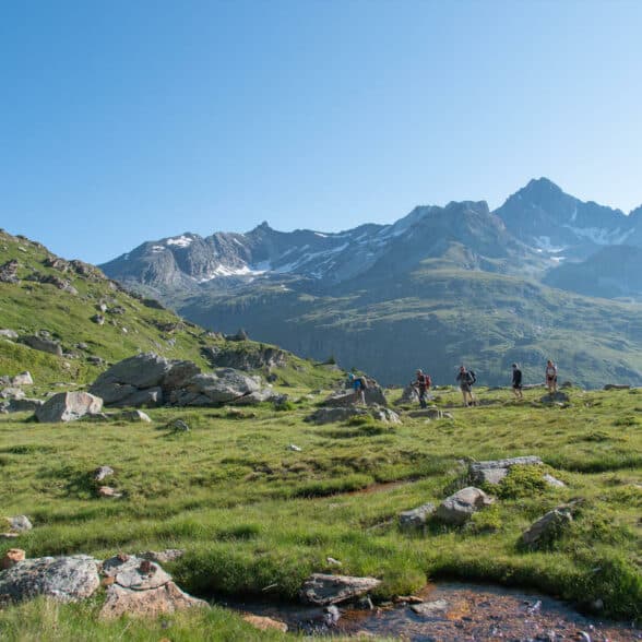
From the parking lot at the Plan d'Amont dam, head for the Pont de la Sétéria (2,206 m), then follow the GR5 as it climbs steeply to a plateau (the beautiful "Plateau du Mauvais Berger", with its carpet of grass dotted with erratic boulders, a marmot's playground). Continue via several switchbacks to the Col de la Masse (2,923 m). Beware, this area is often snow-covered until the end of June. Once you reach the Col de la Masse, you may be lucky enough to come across the female ibex (étagnes), which often spend the summer in this area with their young (éterlous).
Continue south to the summit. On this final climb, the path is unmarked, but numerous cairns guide you to the summit, where you can enjoy panoramic views all the way to Mont-Blanc. From up there, you'll also see the village right there under your feet, as if you'd just left!
Start/finish point: Parking du Plan d'Amont, Aussois
Difference in altitude: +1100 m/- 1100m
Distance: 11.5 km


Observatory Point
3016 mA hike with no technical difficulties taking you to the Pointe de l'Observatoire via the Col d'Aussois (2,916m). A "real summit", sharp at the top and a lovely "lookout" point over theAussois valleys, the Vanoise glaciers and Mont-Blanc. A pass and summit that also mark the transition between the Maurienne and Tarentaise valleys. Continuing along the path, you arrive at Pralognan la Vanoise.
With the exception of the off-trail section to reach the Pointe from the Col d'Aussois, the trail is well marked and not at all technical in the middle of summer (but be warned, there's still plenty of snow until the end of June). The route starts from the dam at Lac de Plan d'Amont and continues across the peaceful plateau of Fond d'Aussois, in the heart of the unspoilt environment of the Vanoise National Park, an ideal place to discover the fauna(especially marmots) and flora.
The Fond d'Aussois hut, at the end of the valley, awaits you for a gourmet break before the ascent to the pass and summit. The final climb is not very technical, but a little long. Shortly before the pass, you'll see a cross marking the arrival of a pilgrimage that takes place every summer on the first Sunday in August.
Start/finish point: Plan d'Amont parking lot, Aussois
Difference in altitude: +1000 m/-1000 m
Distance: 11 km

Mountain safety
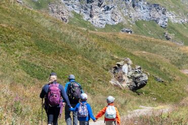
Even if the hikes to the Rateau d'Aussois or the Pointe de l'Observatoire are accessible, the high mountains remain a delicate environment, where each person undertakes his or her own responsibility. These hikes require minimum equipment:
- Hiking shoes
- Spare socks and T-shirt + warm clothes in backpack (even in heatwaves, temperatures at 3000m can be very cool)
- Food and at least two liters of water per person
- Sunscreen, cap, IGN map, GPS and charged phone
These high-altitude peaks are accessible by "classic" hikers in July/August/September (residual snow may still be present until June or even early July). Remember to tell someone about your itinerary and let them know when you're back. Finally, for these high-altitude hikes, the earlier you leave, the better: you avoid finishing the hike at dusk, and you limit the risk of thunderstorms at the end of the day (always possible in the mountains in hot weather). For 100% safety, don't hesitate to call on the services of a mountain leader: the professionals atAussois know how to guide you through your technical progress.

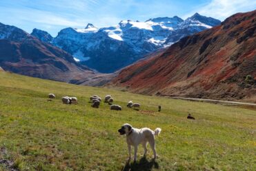
Meeting a Patou: what are the right things to do?

Hiking in the heart of the Alps
