

 Back
hike
Back
hike
Snowshoe itinerary: Jomier
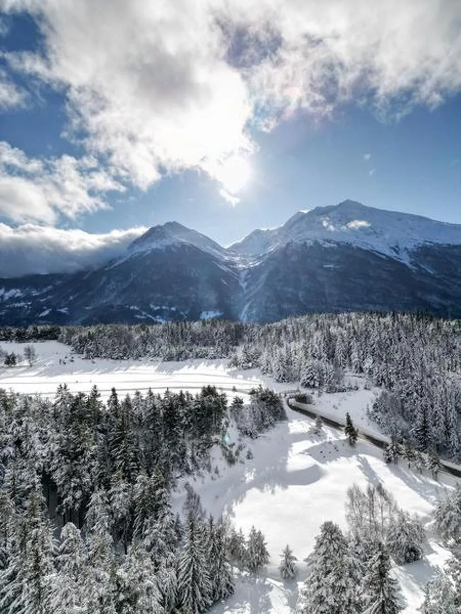
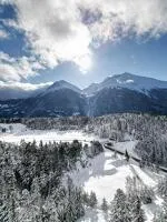
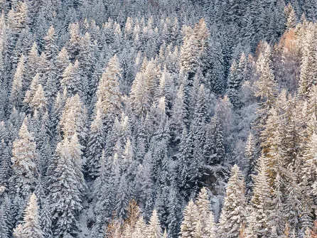
A natural interlude between the sky and the fir trees. The Jomier Loop takes you from a vast open plateau, bathed in light and tranquility, to a more secluded forest, where the wind shapes the trees and carries a subtle scent of resin.
Description
Along the way, you'll be captivated by the panoramic views of the majestic Pointe de Longe Côte (3,104 m), which dominates the Aussois and the surrounding peaks.
Additional welcome
Check the weather conditions and avalanche risk before you set out (weather services, mountain rescue services, professionals, tourist office...).
Make sure your gear and clothing are appropriate for the forecast.
Postpone your activity if the weather forecast is poor. Follow safety instructions and do not stray from marked trails in winter.
Environments
-
 Mountain view
-
Mountain location
-
10 - 20 min from a train station by car
-
10–20-minute walk to the bus stop
Rates
Free access.
Itinerary
-
 Distance
3.6 km
Distance
3.6 km
-
 Route type
LOOP
Route type
LOOP
-
 Elevation gain
180m
Elevation gain
180m
-
 Negative gradient
180m
Negative gradient
180m
-
 Daily duration
2:00 a.m.
Daily duration
2:00 a.m.
-
 Signposted itinerary
Yes
Signposted itinerary
Yes
-
 Beaconing accuracy
Signposted Route No. 3
Beaconing accuracy
Signposted Route No. 3
-
 Nature of the land
Non-groomed itinerary
Nature of the land
Non-groomed itinerary
-
 Maximum altitude
1705m
Maximum altitude
1705m
Opening period
Daily from December 15 to April 1.
Subject to favorable snow and weather conditions.
Additional opening
-
Subject to favorable weather
-
Subject to snow conditions
Labels
Location
As hazards may occur at any time on the routes, the GPX tracks provided are not contractual. They are provided for information only. Riders use them at their own risk, depending on their level of technological proficiency and their understanding of the terrain.
Documents

Animals
Pets allowed : Yes
Pets allowed with supplement: No
Out of respect for wildlife, please keep your dog on a lead.
Guidebook with maps/step-by-step
-
1/ From the Plan de la Croix parking lot, head due north on Chemin de Jomier into the forest. Continue straight ahead on the wide path past Le Raccourci to reach the next crossroads.
2/ 0 h 50 - At the crossroads, continue straight ahead on the wider path to reach Jomier, the highest point of the loop at an elevation of 1,700 m. Then take the downhill path to join the Piste de Jomier.
3/ 1 hr 45 min - Once back on the Piste de Jomier, follow the narrow path along the edge of the forest back to the Plan de la Croix parking lot, passing through the 1ère Combe and then taking the trail shared with cross-country skiers.
4/ 2 hrs - Plan de la Croix parking lot.


-
Distance
3.6 km
-
Daily duration
2:00 a.m.
-
Elevation gain
180m
-
Negative gradient
180m


-
Aussois
 trade and service
Bus stop N°600 : Plan de la Croix
-
Aussois
 trade and service
Bus stop N°604 : Le Centre
-
Aussois
 trade and service
Car park of the Cross
-
Aussois
 hike
hikeSnowshoe itinerary: The Monolith via...
- Distance 6.3 km
- Daily duration 02:30
- Elevation gain 180 m
- Elevation loss 180 m
-
Aussois
 hike
hikeSnowshoeing itinerary: From the Mill to the V...
- Distance 5km
- Daily duration 02:45
- Elevation gain 240m
- Negative gradient 240m
-
Aussois
 hike
hikeSnowshoeing itinerary: La Croix d'Aus...
- Distance 3.7 km
- Daily duration 2:00
- Elevation gain 240m
- Negative gradient 240m
-
Sollières-Sardières
 hike
hikeSnowshoe itinerary: La Piste Blanche
- Distance 7.8 km
- Daily duration 3:00 a.m.
- Elevation gain 200m
- Negative gradient 200m
-
Aussois
 hike
hikeSnowshoeing itinerary: The Fort Trail
- Distance 4.4 km
- Daily duration 02:30
- Elevation gain 170m
- Negative gradient 170m
-
Aussois
 hike
hikeSnowshoe itinerary: Sculpture Trail
- Distance 5.2 km
- Daily duration 02:45
- Elevation gain 220 m
- Elevation loss 220 m